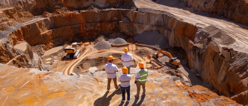
Allied Services
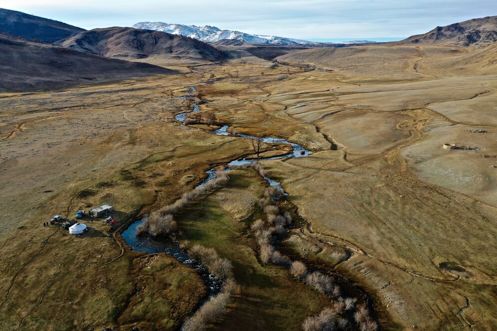
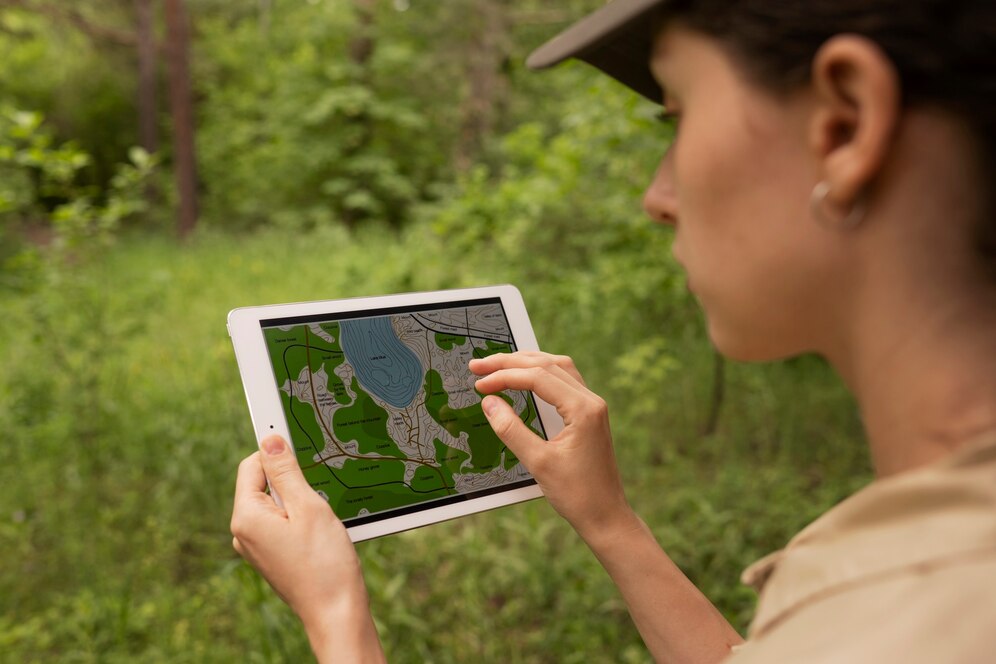
At HIMGEO Consultancy Services Pvt. Ltd., we offer a range of allied services to support geological, geotechnical, and environmental projects. Our expertise includes soil investigation and testing to determine foundation stability and construction feasibility. We conduct topographical surveys using advanced GIS and remote sensing technologies for accurate terrain mapping and site planning. Our groundwater and hydrology studies help in water resource management and flood risk assessment. We assist in land subsidence monitoring, slope stability analysis, and seismic hazard mapping to ensure safe infrastructure development. Our team provides geophysical surveys and geochemical analysis to support mining, construction, and environmental studies.
At HIMGEO Consultancy Services Pvt. Ltd., we provide comprehensive soil investigation and testing to ensure strong and stable foundations for construction and infrastructure projects. Our services include soil classification, bearing capacity analysis, and compaction testing to assess suitability for buildings, roads, and dams. We conduct geotechnical borehole drilling, standard penetration tests (SPT), and laboratory analysis for precise subsurface evaluation. Using modern testing techniques, we determine moisture content, permeability, and shear strength to prevent foundation failures. Our soil testing solutions help in land-use planning, slope stability analysis, and earthquake-resistant designs. We provide detailed geotechnical reports to assist engineers in making data-driven decisions.

At HIMGEO Consultancy Services Pvt. Ltd., we conduct detailed topographical surveys to provide accurate terrain mapping for infrastructure, mining, and environmental projects. Using advanced GPS, GIS, and drone technology, we capture precise elevation data, land contours, and surface features. Our surveys help in site planning, construction design, and flood risk assessment by identifying natural and man-made structures. We specialize in 3D terrain modeling, digital elevation mapping, and geospatial analysis for better project visualization. Our team ensures high-resolution data collection to support engineering designs, land development, and disaster management planning. With cutting-edge tools and experienced professionals, we deliver reliable and efficient topographical survey solutions.

At HIMGEO Consultancy Services Pvt. Ltd., we specialize in groundwater and hydrology studies to support water resource management and infrastructure planning. Our team conducts aquifer mapping, hydrogeological assessments, and groundwater recharge studies to ensure sustainable water use. Using geophysical surveys, remote sensing, and GIS techniques, we analyze water table fluctuations, flow patterns, and contamination risks. We provide hydrological modeling and flood risk assessments to aid in irrigation, drinking water supply, and disaster preparedness. Our expertise helps in identifying safe groundwater extraction points while preventing over-extraction and depletion. We assist industries and government agencies in water conservation strategies and watershed management.

At HIMGEO Consultancy Services Pvt. Ltd., we utilize remote sensing and GIS technology to provide high-precision spatial analysis for various geological and engineering projects. Our expertise includes satellite imagery interpretation, terrain mapping, and land-use analysis to support infrastructure planning, mining, and environmental management. Using advanced GIS tools, we perform disaster risk assessments, hydrological modeling, and mineral exploration with accurate geospatial data. We assist in forest mapping, watershed management, and urban planning through real-time monitoring and predictive analysis. Our team integrates drone surveys, LiDAR, and multispectral imaging to enhance geospatial intelligence. These solutions help industries and governments in decision-making, resource management, and sustainable development.
