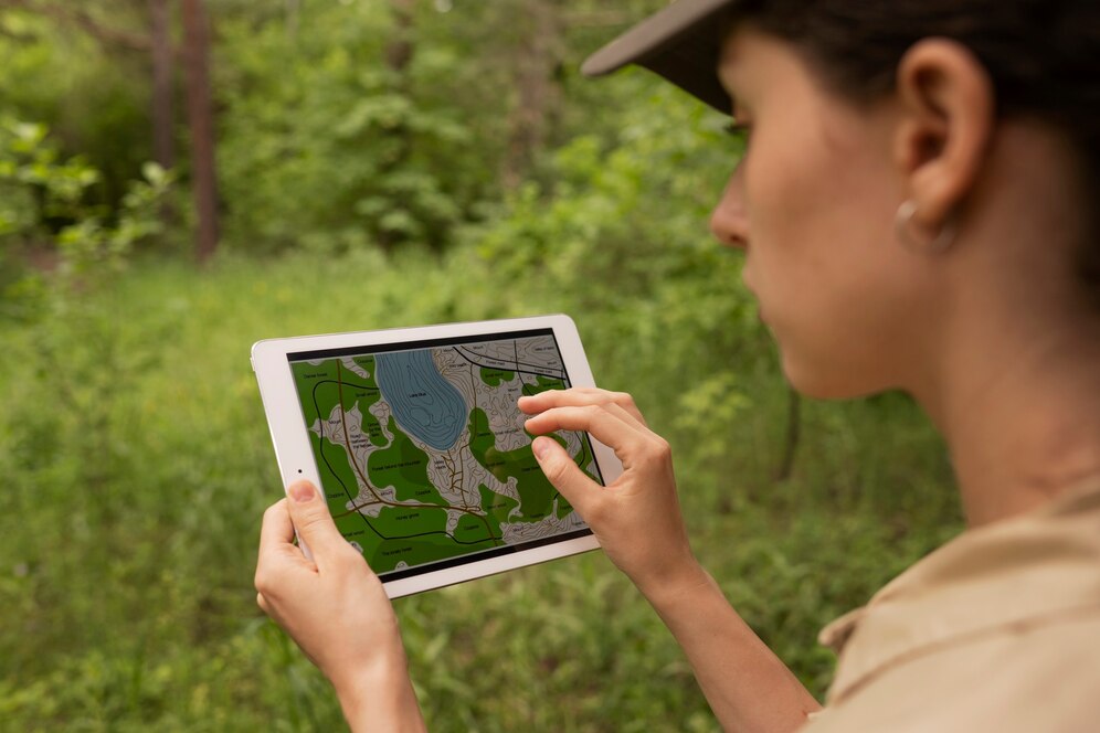
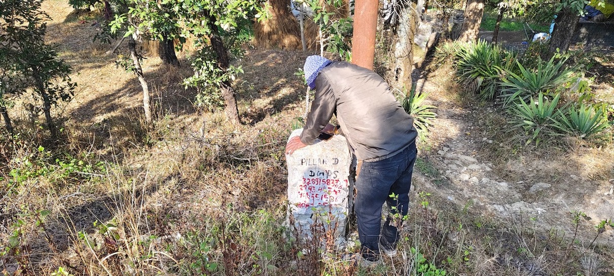
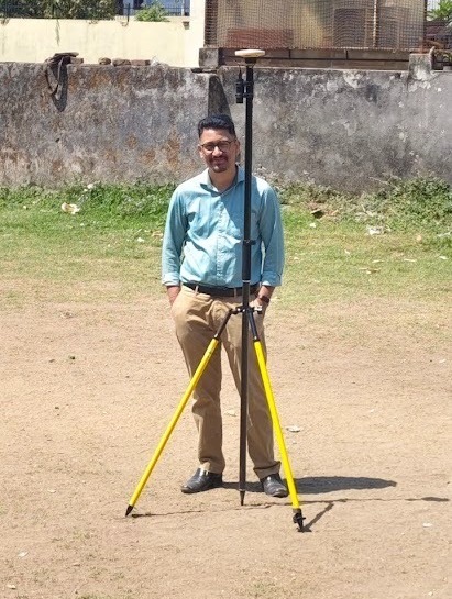
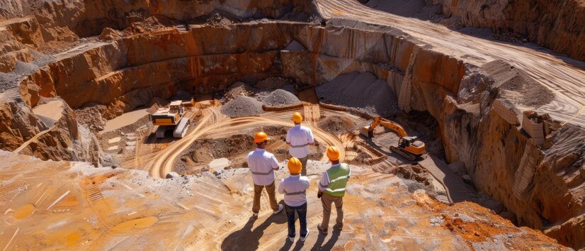
Survey and Mapping

We deliver precise land and aerial surveys using advanced UAVs, DGPS, and LiDAR technology. From topographic mapping to remote terrain analysis, our solutions reduce time, cost, and human effort. Our data-driven maps empower better planning, design, and execution for infrastructure and development projects.

Drone/ Uav Lidar Survey

We furnish advanced Photogrammetry Survey in India with the use of advanced drones. The aim of our UAV/drone survey and mapping is to simplify the workflow. At the same time, it streamlines the process by providing high-resolution aerial maps in a quicker time. We are equipped with a powerful drone solution, which simplifies the workflow and streamlines the process of high-resolution aerial mapping within a fraction of time. For surveyors and GIS professionals, our aerial mapping survey in India brings immense potential. Time and cost of data capturing will get reduced drastically with the use of your drone technology. The biggest benefit is that UAV mapping drones can reach areas that are not easily accessible by humans. It can access hilly and remote regions easily and captures data accurately. It reduces the workload of the specialists working for site surveys. Our small Unmanned Aerial Systems increase the accuracy in mapping and improve our expertise in point cloud processing tools.

Topographic Survey

Topological survey is used for creating topological mapping, and such mapping is required for every engineering design or construction. Topographic Road Survey aims to create geological symbols that reflect surface facilities, underground, and natural objects. It further includes presence of possible building and communication lines on the requested territory.

DGPS Survey

A DGPS (Differential Global Positioning System) survey is a technique used to enhance the accuracy of GPS measurements by utilizing a network of reference stations with known locations. These reference stations transmit correction data to nearby GPS receivers, reducing errors caused by atmospheric interference and other factors, resulting in more precise positioning data. DGPS significantly improves accuracy compared to standard GPS, typically achieving centimeter-level precision. This is crucial for applications like land surveying, construction, and precision agriculture.